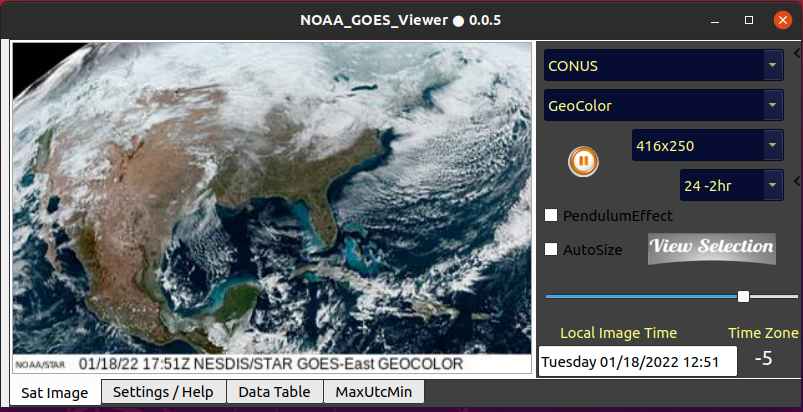
This downloads satellite imagery provided by NOAA and displays it in a loop for the contiguous US. I use it for tracking hurricanes as I live way out in the country and don’t get TV stations. I decided to make a version in Gambas so I could use it with Ubuntu and thought I’d leave a copy here. I would think changing the PreLink info in the app could make it work for other areas of the world but I haven’t tested it. Feel free to modify to your liking. RodG
PS - if you have data caps then use with moderation.